Track snaps together by itself
Push a piece towards an open end and it docks, angle and position calculated for you. Nobody types coordinates here.
Learn more: Track snaps together by itself →
More than laying track. The plan carries heights, landscape, trains and, at the end, the shopping list.
Push a piece towards an open end and it docks, angle and position calculated for you. Nobody types coordinates here.
Learn more: Track snaps together by itself →
Select your oval and pull it longer by a stretch handle. Trackplanner fills the straights with matching catalogue pieces, so there is no rebuilding piece by piece.
Learn more: Stretch the oval instead of relaying it →
Tell the app what runs on your layout. Usable lengths and radii are checked against those trains, not against a norm.
Learn more: Name stations, put trains on the rails →
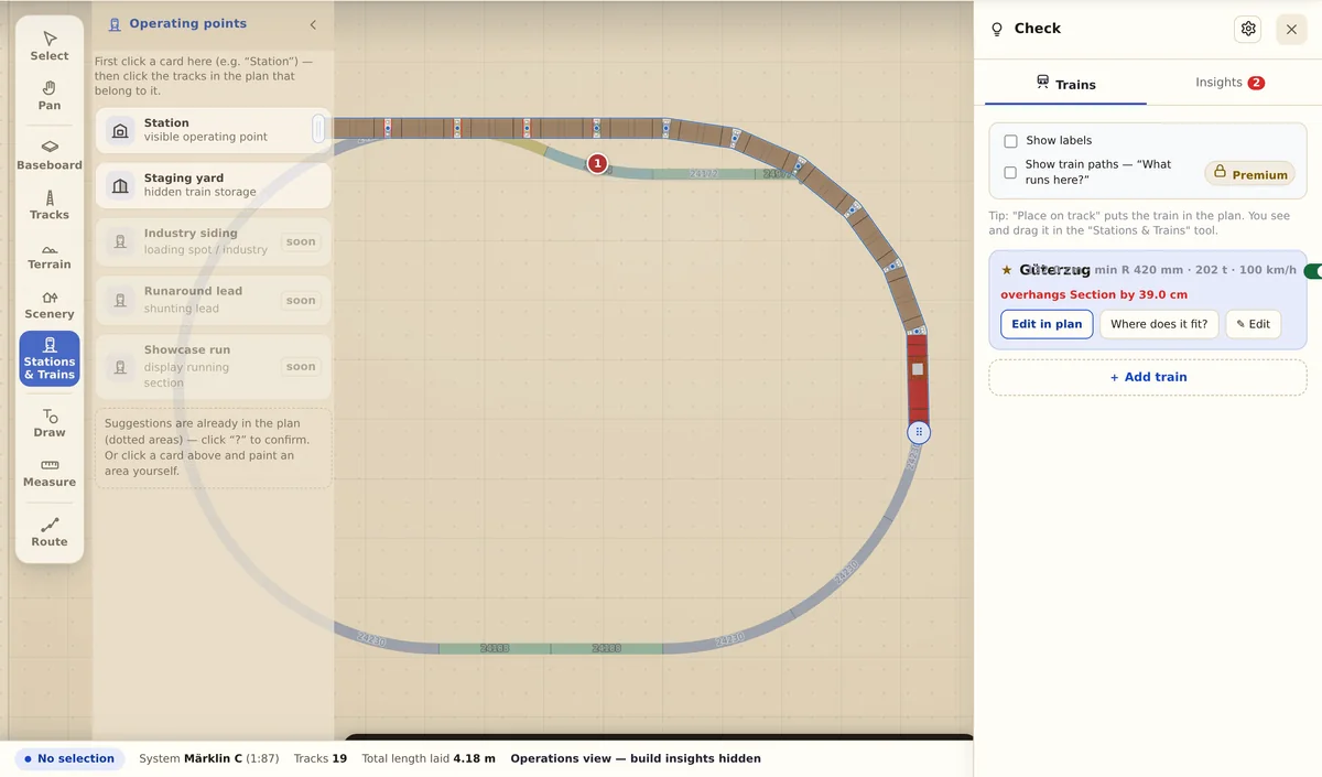
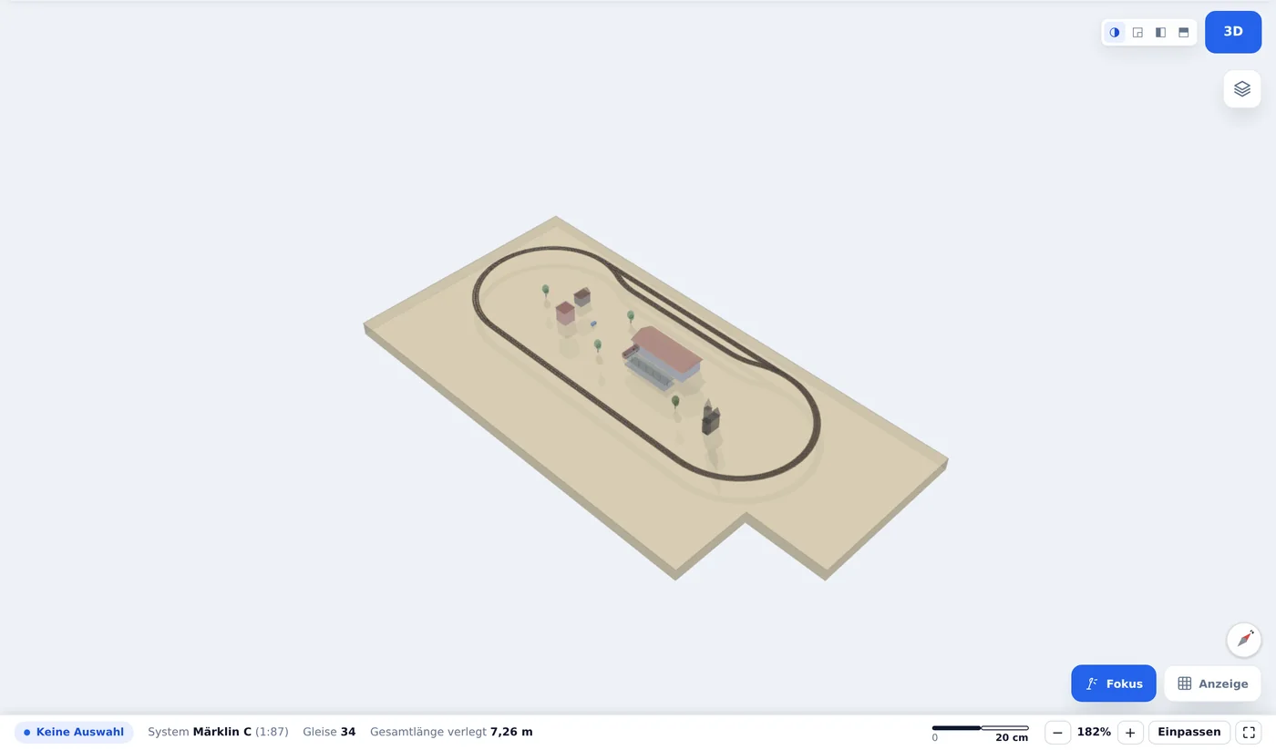
Every change appears in both views at once. Buildings, trees and vehicles come from the scenery library.
The alignment carries heights. Drop shadows and supports show in plain 2D what runs above and what passes underneath.
Raise, lower, flatten. Contours and relief follow along, hollows fill with water, tunnels are derived automatically.
Four steps that stay connected inside the app. No switching to another program.
Track from your own manufacturer catalogue, with article numbers for the parts list and the basket.
The operations check reports what will bite you once trains run.
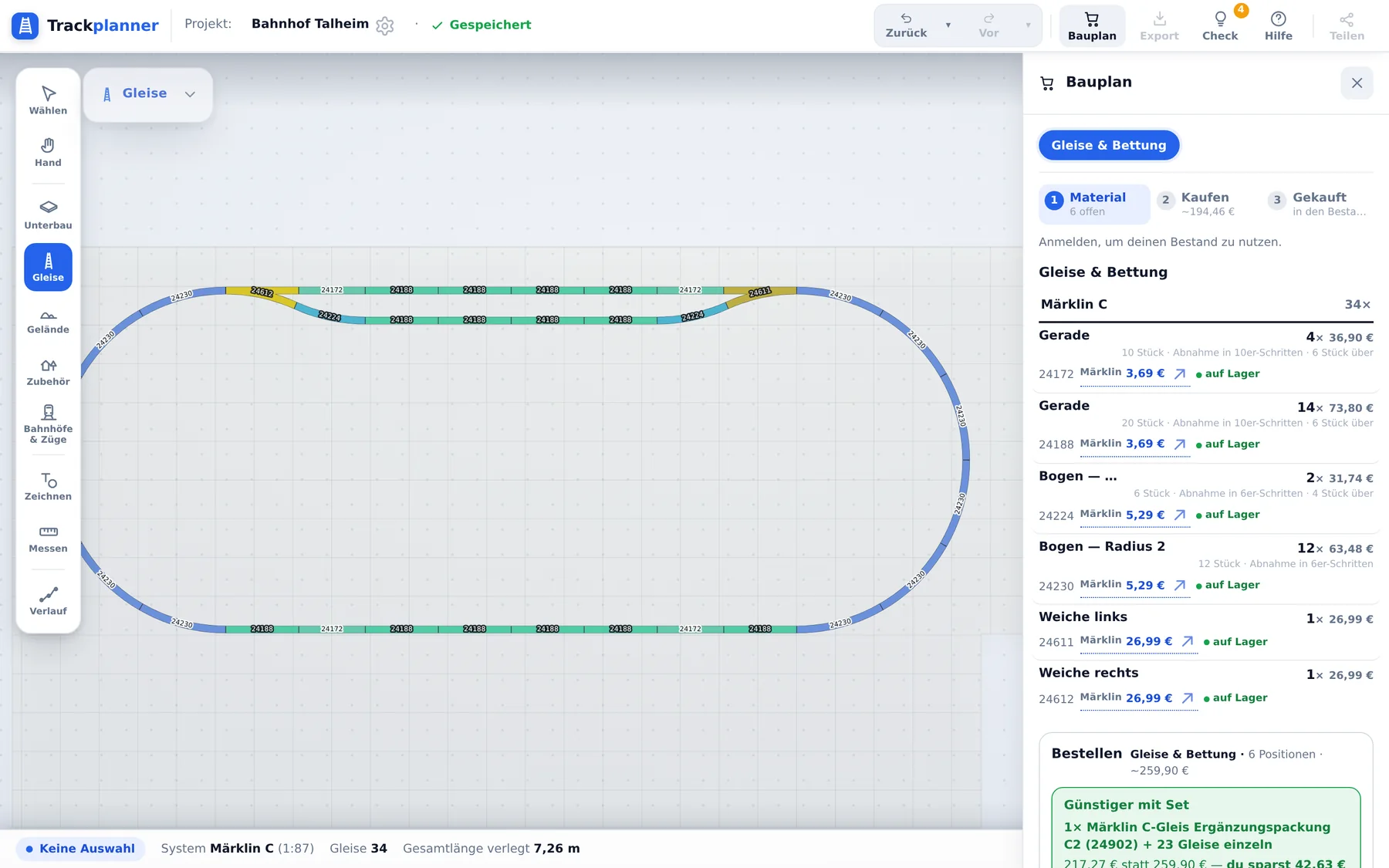
The build plan turns into a parts list, with prices and pack sizes.
Print at 1:1, lay it on the board, put the track on top.
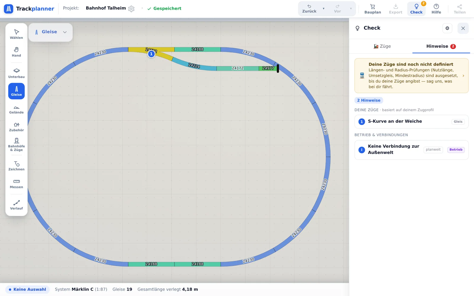
Anyone spots an open end. The expensive mistakes hide in radii, usable lengths and gradients. Every insight names the spot and the reason.
Old plans stay readable, and new ones leave the app in the format you keep working in.
The import checks the geometry and reports whatever could not be matched unambiguously.
1:1 print, cutting file and high-resolution image export are part of Premium.
Free, in the browser, nothing to install. Your first oval takes ten minutes.